RWB EMPOWERS 150 VILLAGES WITH LOCALIZED LAND USE ACTION PLANNING IN RUBAVU, NYABIHU, AND MUSANZE
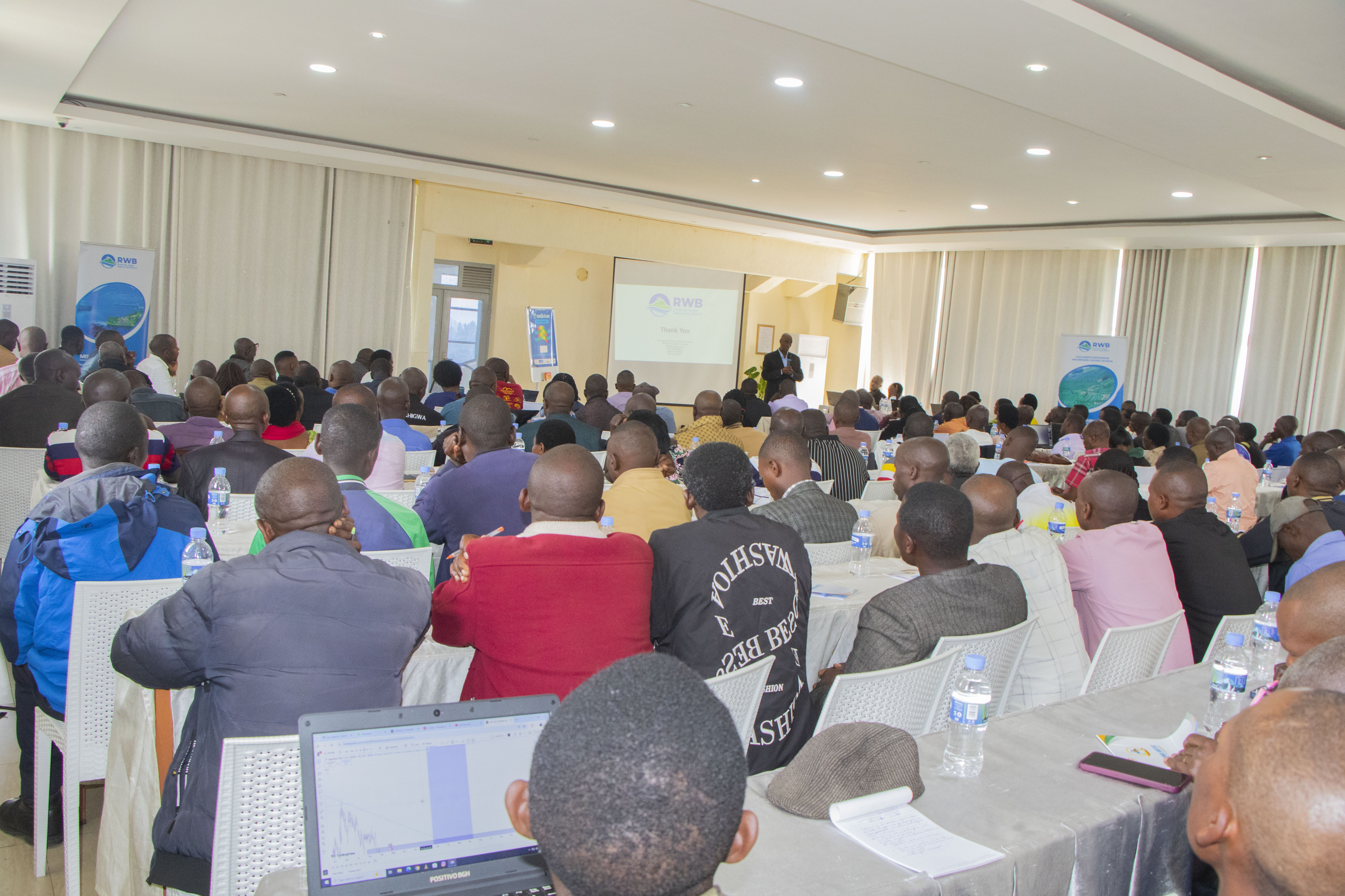
The Rwanda Water Resources Board (RWB) has concluded a comprehensive Training of Trainers (ToT) program designed to empower local facilitators in village-based land use action planning. The initiative targeted 150 priority villages across the districts of Rubavu, Nyabihu, and Musanze.
This training is a core component of the Volcanoes Community Resilience Project (VCRP). The project seeks to strengthen climate resilience, mitigate flood risks, and enhance watershed management, ultimately improving the livelihoods of those living within the Volcanoes Region and the Vunga corridor.
During the session, Bernard Musana Segatagara, Head of the Knowledge and Forecasting Hub Department, emphasized the high stakes of this training. He urged participants to maintain focus to ensure that future village plans accurately reflect local needs.
"We are in a learning environment, and it is vital that we grasp these lessons fully," Musana stated. "Failure to do so results in flawed village plans. For instance, a community needing terraces might erroneously receive a forestry plan. In such cases, the project fails to satisfy the citizens simply because we were distracted during training. Our activities must be rooted in the visible, site-specific problems that require urgent solutions."
The trainees highlighted how this bottom-up approach to land-use planning marks a shift in regional development.
Marthe Nyirabuzuza, the Women Forum Coordinator for the Mukamira Sector in Nyabihu District, noted that the training provides a roadmap for community-led problem-solving.
"This training is of great benefit because we are now equipped to facilitate residents in identifying the root causes of soil erosion, degradation, and landslides. Because the citizens live on this land, they are best placed to identify land-use issues. We will sit with them, consult on the priorities, and find sustainable solutions through the support of the VCRP."
For other participants, the training clarified complex environmental concepts. Alfred Turikumwe shared how he gained a new understanding of catchment mechanics:
"I didn't fully understand what a catchment was before, but now I know it is where the hills meet and water collects. I have learned how to protect these areas by planting trees, developing retention trenches, and creating terraces to manage water flow properly. The beauty of this process is that the citizens lead it they identify the problems and provide the solutions themselves."
This session marks the successful completion of the project's second phase. While this phase focused on 150 villages, the VCRP’s long-term vision is expansive. The project intends to scale these Village Land Use Action Plans to 2,000 villages across all eight operational districts.